
Detailed Urban Planning (P.U.D.)
A PUD lays down regulations relating mainly to setbacks to the lateral and rear boundaries of the plot of land on which a new construction is to be erected or an existing one to be modified.
Also, elements that are the object of PUD are the functional and aesthetic relations with the neighborhood, the inscription of the objective and its architectural treatment by reference to the neighboring built and natural framework, the design of public spaces, conformation of constructions, arrangements and plantations, urban illustration of the proposed solution.
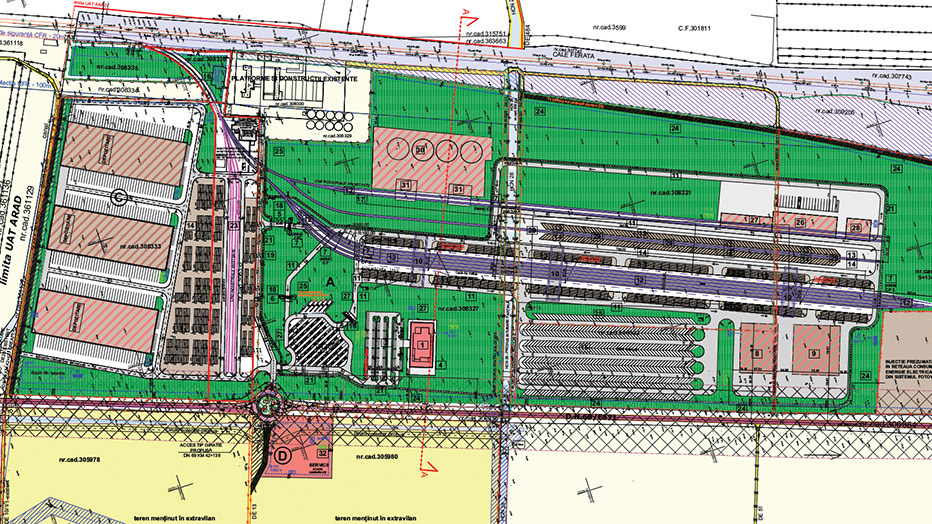
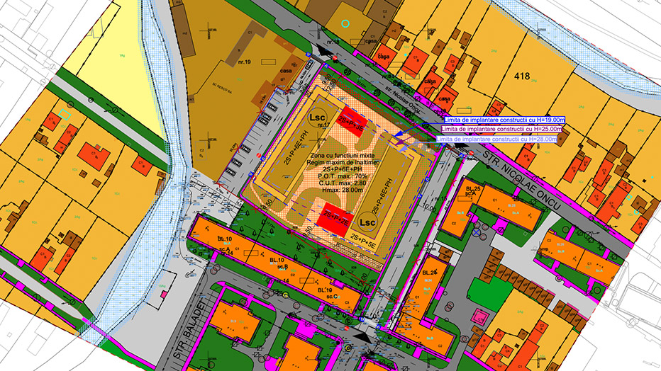
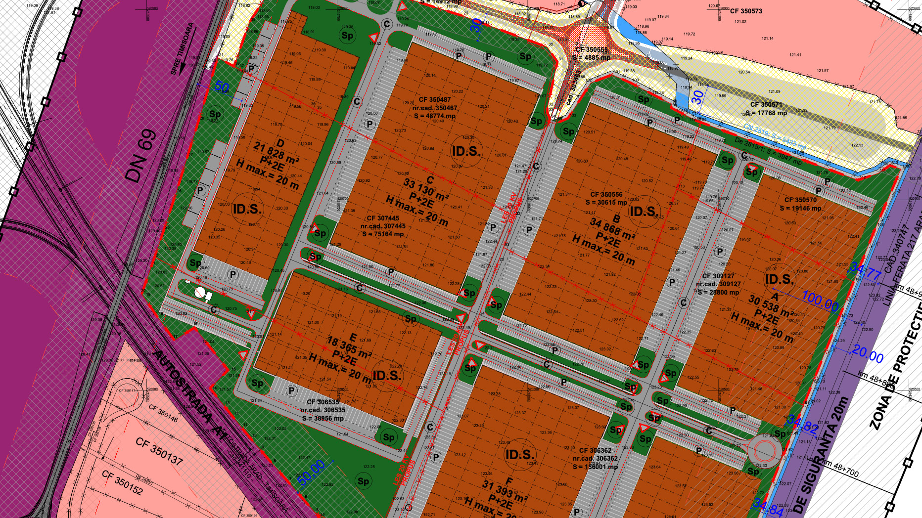
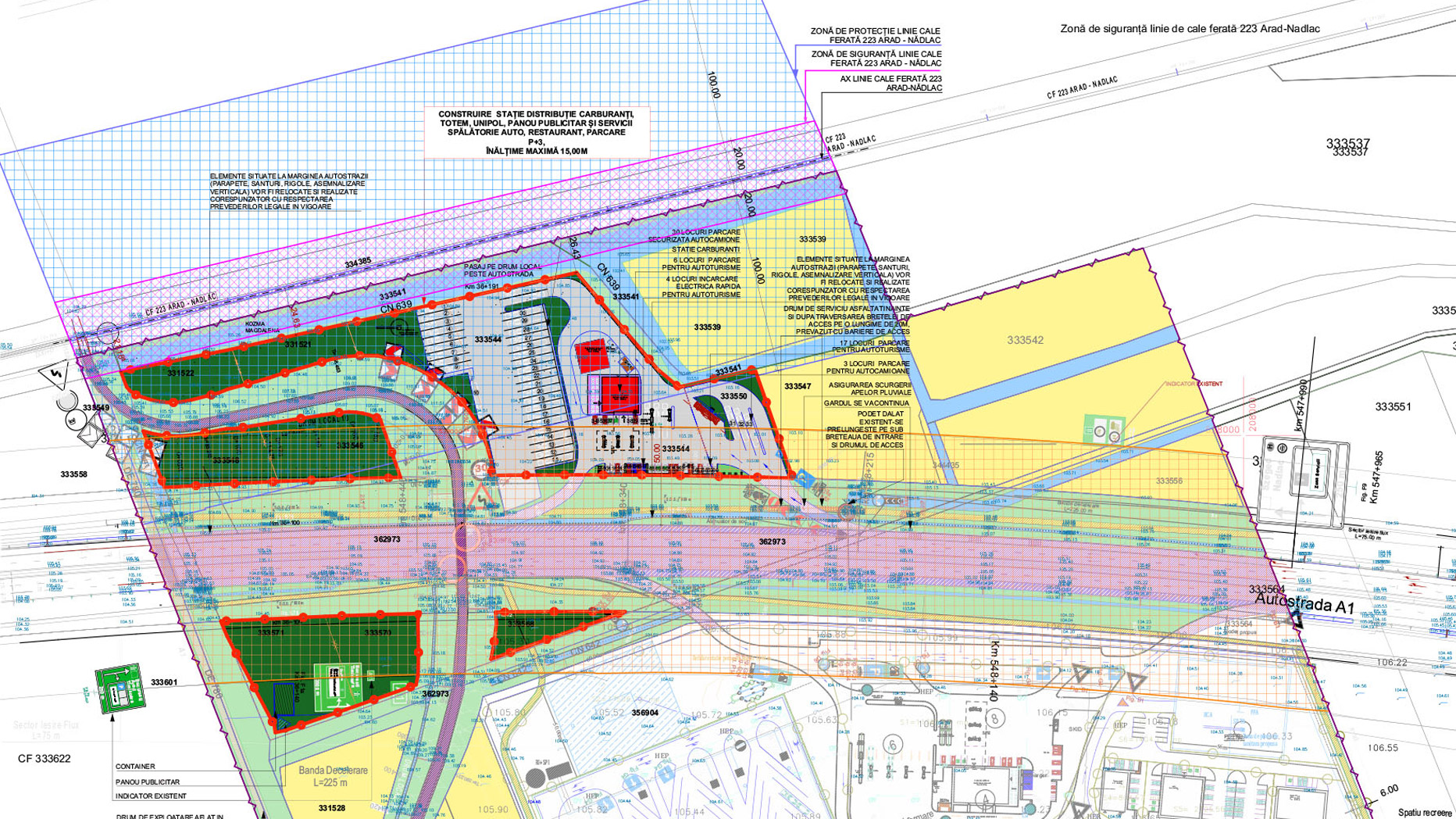
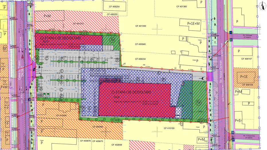
Area Urban Planning (P.U.Z.)
The zonal urban plan is the regulatory instrument that coordinates the integrated urban development of some areas that have a high level of complexity or in which the urban dynamics is accentuated.
The regulations contained in a PUZ can refer to the architectural-urban organization according to the characteristics of the urban structure, the organization of the street network, the land use, the development of urban infrastructure, the legal status and movement of land, the protection of historical monuments and easements in protected areas. of them. In support of the proposals from PUZ, cartograms, diagrams, graphs, etc. can be presented in addition, which can illustrate conclusions of the substantiation studies that are the basis of the regulatory proposals for the development of the studied area.


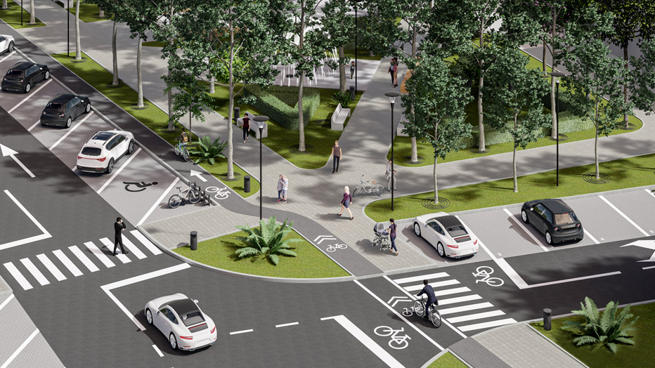
Public Space
At Pro Arhitectura, we believe that well-designed public spaces can transform cities into more vibrant, friendly and connected places with nature. Through landscaping, we bring balance between the urban and the natural, creating environments that not only look good, but also improve the quality of life. Whether we are talking about parks, squares, pedestrian areas or urban gardens, every project we develop is designed to offer beauty, comfort and functionality.
For us, a public space is not just a transit area, but a place where people meet, relax and reconnect with their surroundings. We choose sustainable materials, integrate vegetation that contributes to reducing pollution and design urban furniture that combines aesthetics with utility. Light, texture and colour play an essential role in shaping urban landscapes that harmoniously combine nature with architecture.
In every project, we are guided by the principle of sustainability and innovation. Vertical gardens, green roofs and smart water management solutions are just some of the elements we use to create greener and friendlier cities. At Pro Architecture, landscaping is more than design – it is a vision of how we can build a future where nature and the urban coexist in harmony.